The Governor Mario M. Cuomo Bridge was built to replace the aging Tappan Zee Bridge, which connects Rockland and Westchester counties across the Hudson River. Constructed in 1955, the Tappan Zee Bridge lacked the elements of a modern transportation system, such as emergency shoulders, mass transit accommodations, and notably any pedestrian or bicycle access. In 2013, construction began to replace the existing bridge and bring it up to current standards and service both motorized and non-motorized users.
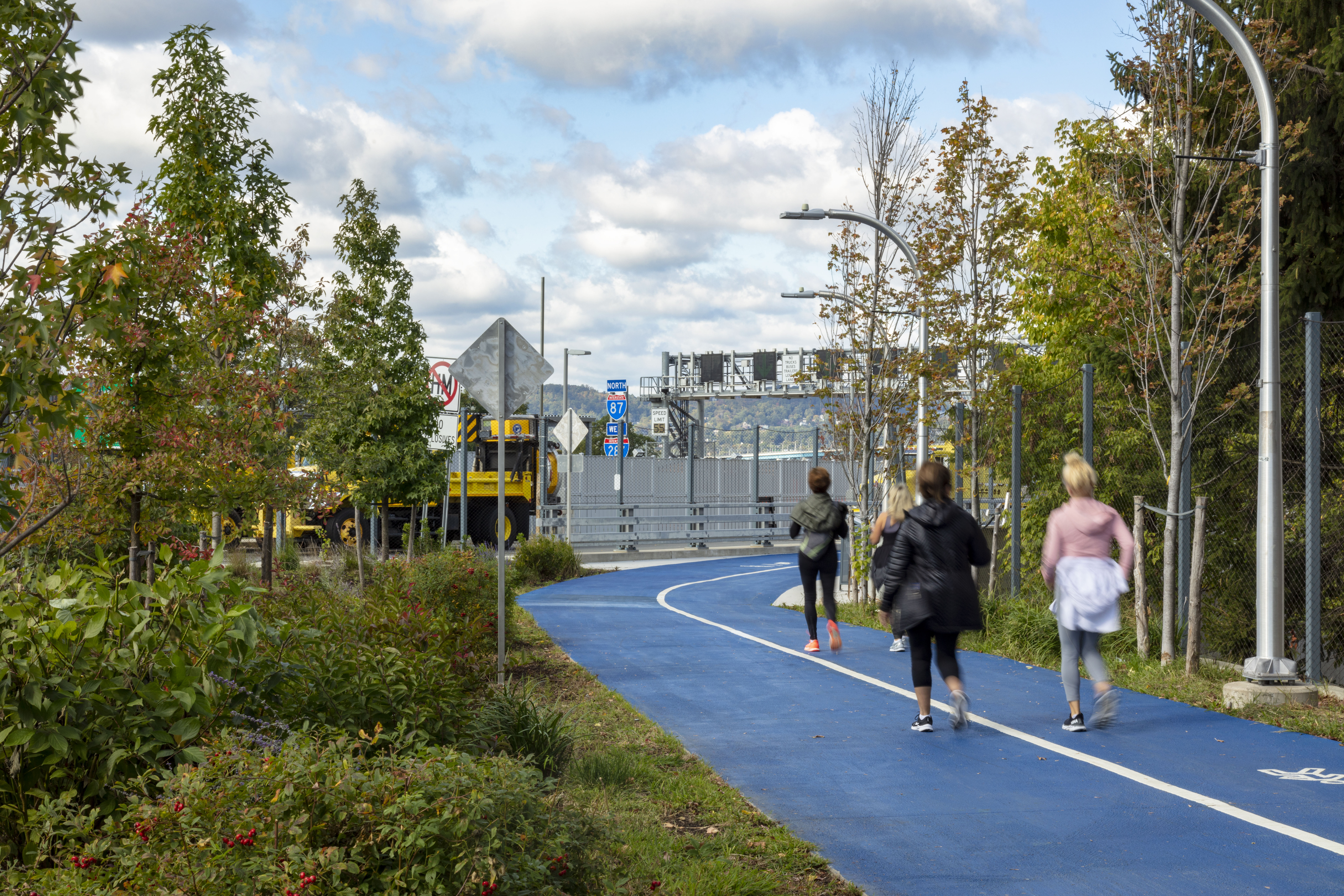
A dedicated 3.6-mile shared use path (SUP) creates a new transportation link for pedestrians and bicyclists and new recreational opportunities within the regional trail network.
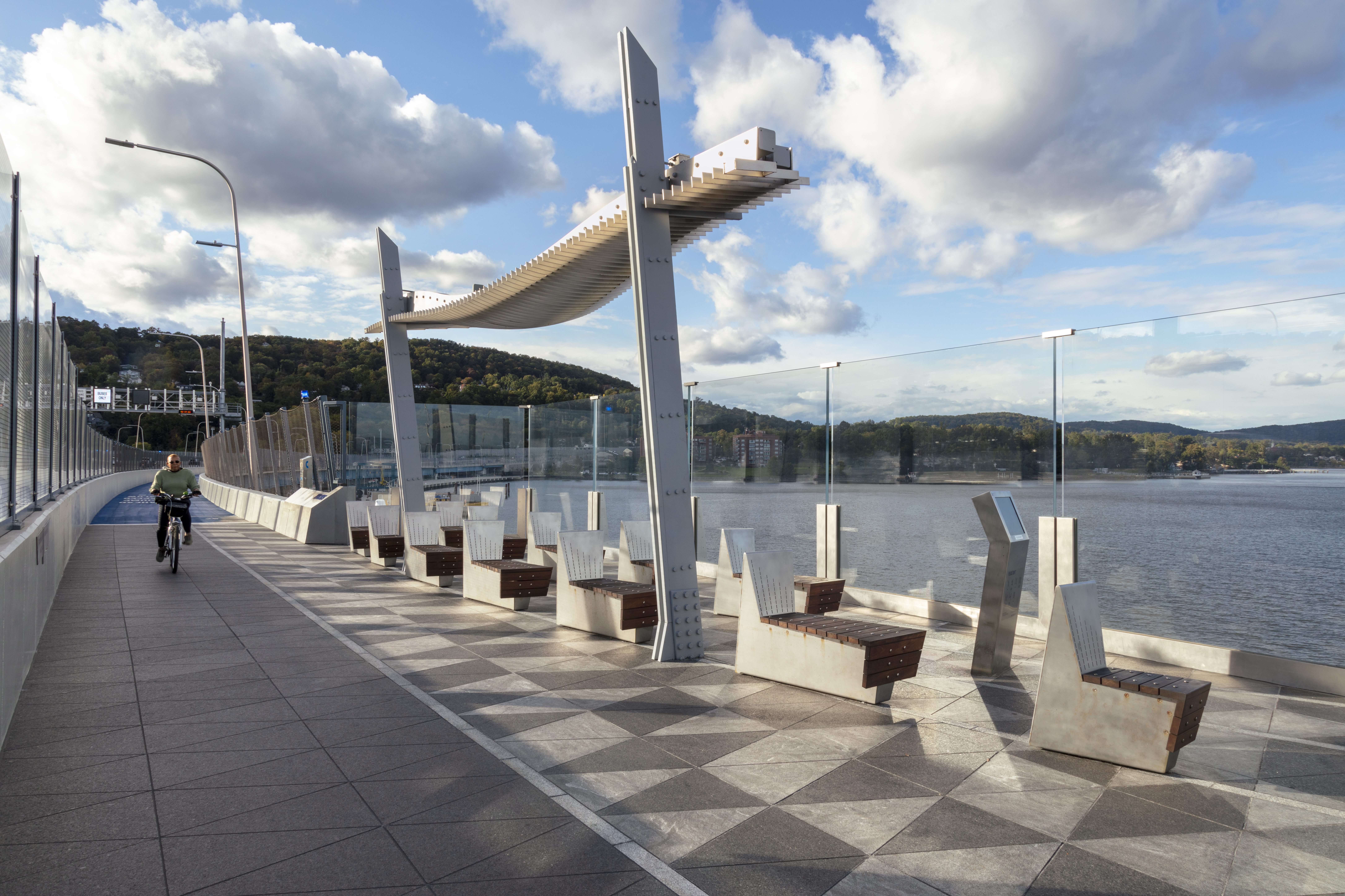
TWM was selected to develop a concept plan for the proposed shared use path (SUP), and provided landscape architectural services to the NY State Thruway Authority from design through construction for the SUP overlooks, landings, and regional trail connections spanning the entire scope of the project.
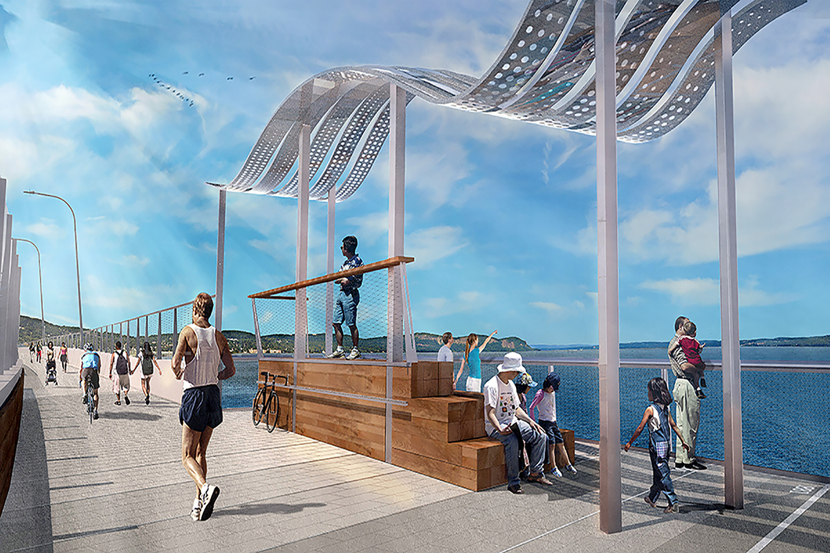
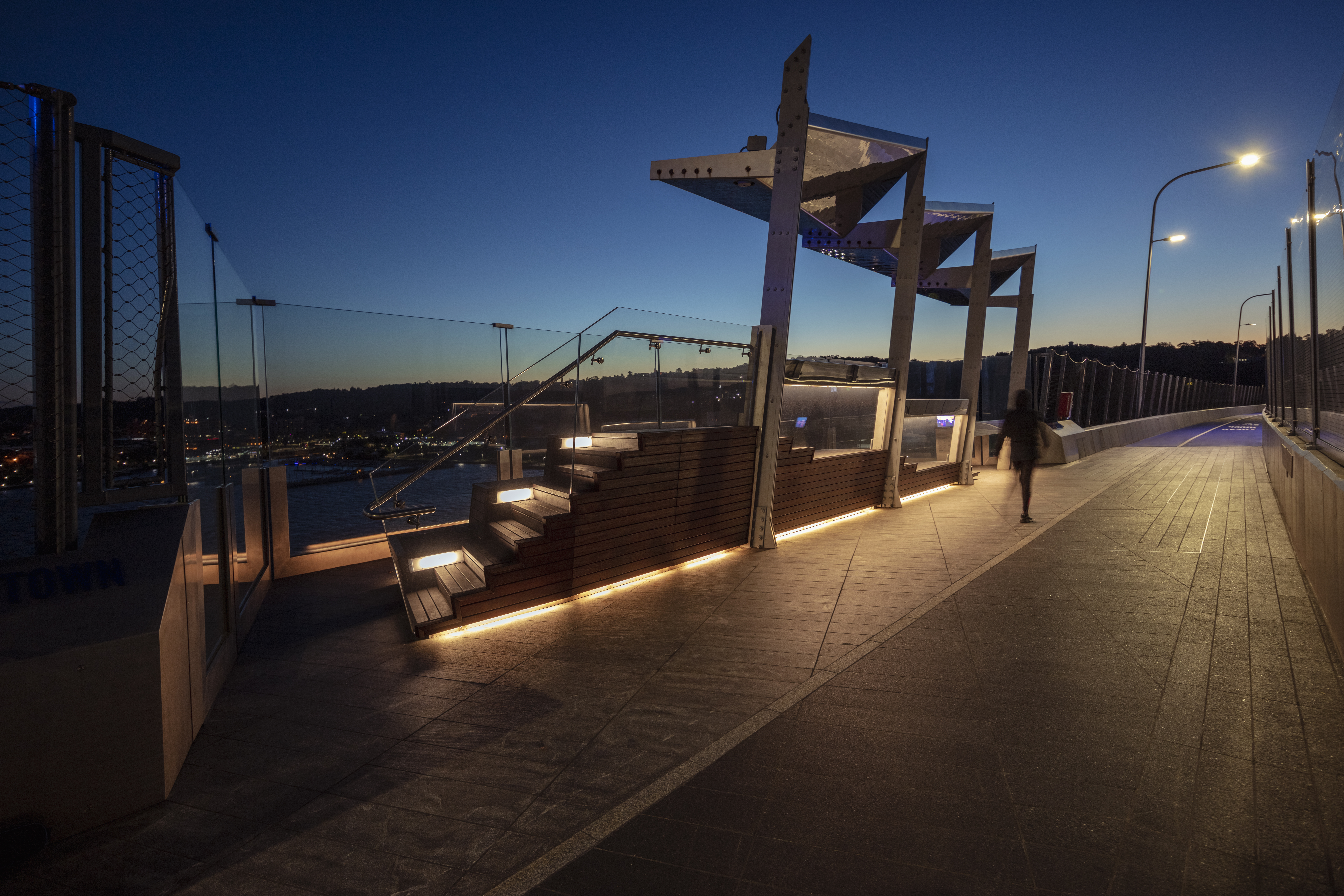
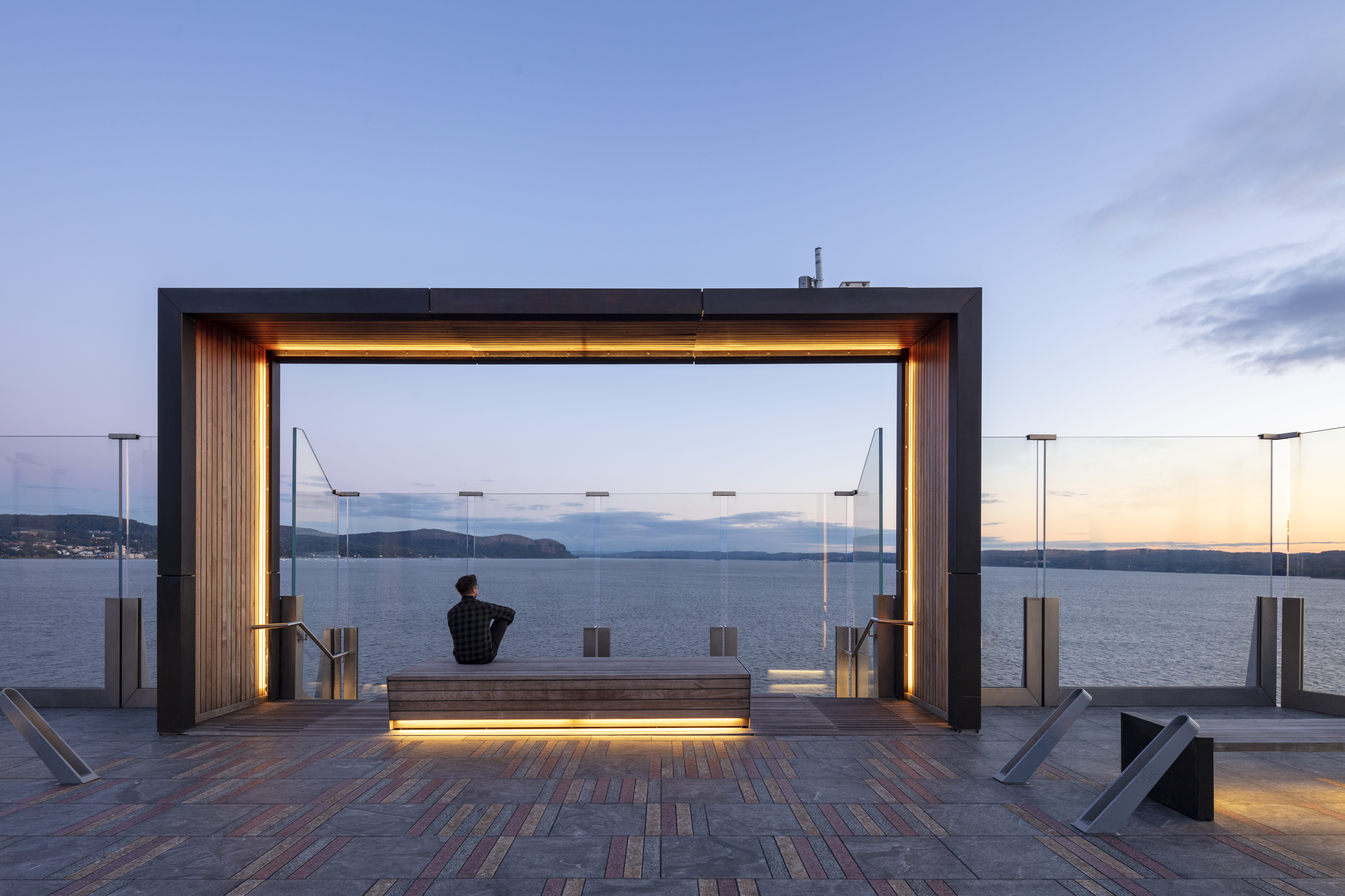
Six distinct overlooks punctuate the journey across the bridge, allowing for moments of respite and reflection while offering breathtaking views of the Hudson River Valley and New York City skyline. Workmanship and durability were prioritized for a bridge designed to last over 100 years, yielding pedestrian spaces that draw inspiration from the historic, cultural, and ecological context of the river valley and utilize unique paving patterns, shade structures, and seating at each one. Curated views, environmental storytelling, and custom furnishings combine to create an engaging and exhilarating experience on one of the nation’s premier infrastructure projects.
The landings serve as gateways to the SUP that provide parking, orientation, comfort stations, food service, amenities, and public art. Each side of the bridge presented different challenges and opportunities, so each required a unique response. The designers prioritized green infrastructure at the landings and landside trails, including extensive use of porous pavements, structural soil, and native plantings. In addition to the overlooks, extensive investigation and detailed design of fencing, railing, and barrier options were explored to evolve a solution that maintains the magnificent views of the Hudson, while providing effective safety and security.
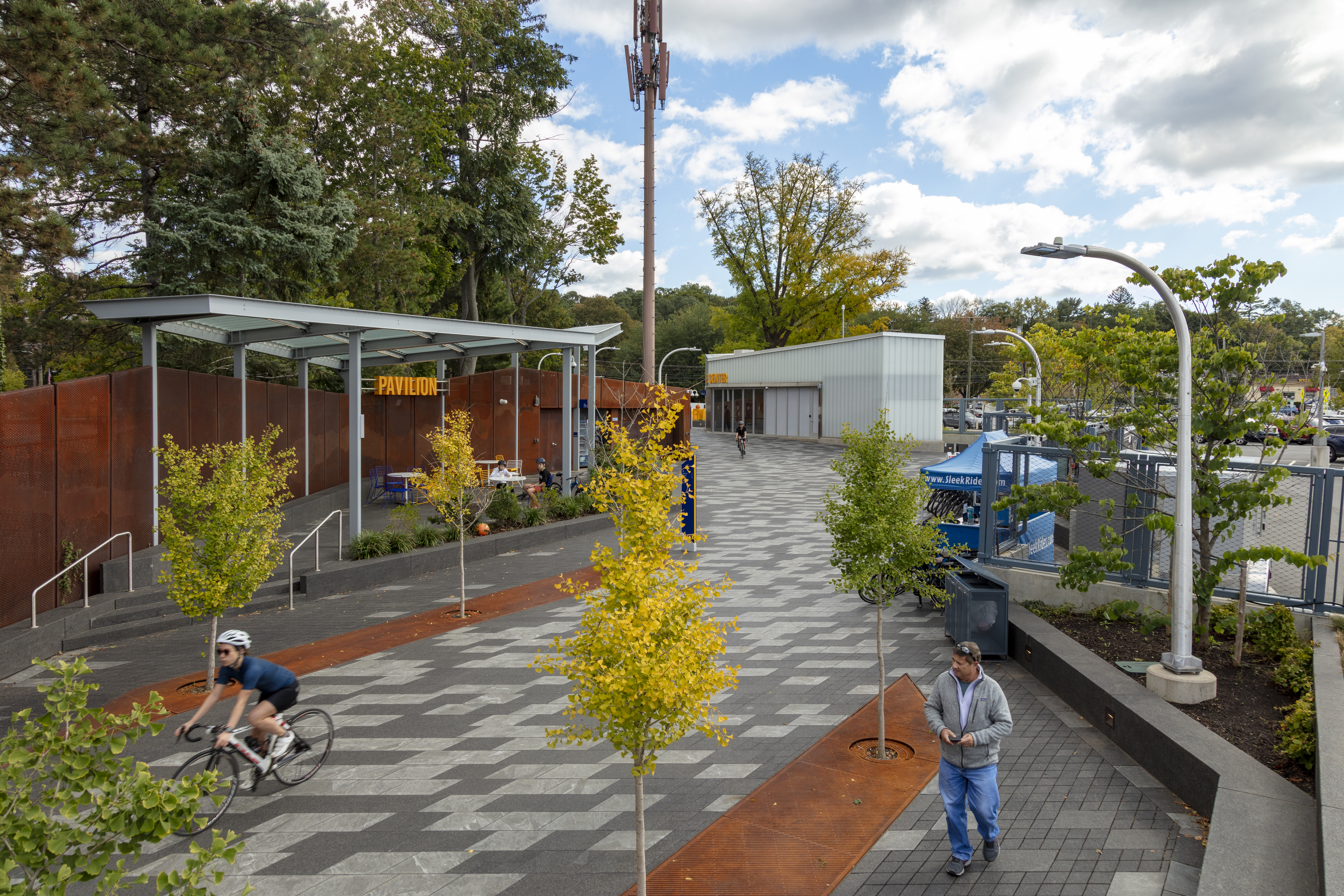
As a follow-on to the concept design, Fisher was contracted to study how the SUP would transition to the surrounding communities and link to surrounding trail systems. The Connectivity Study included an assessment of visitor services required at the termini of the SUP at either end of the bridge, the development of concept plans for “landings” on both sides of the bridge, and strategies for providing a link down the steep slope to the Hudson River and to other regional attractions and trail systems.
